Tuesday, 20 May 2014

The Ancient City of Sardis and the Lydian Tumuli of Bin Tepe, Turkey (Unesco Tentative)

 
The ancient city of Sardis is located in Manisa Province in western Turkey, near the modern town of Sart. It lies at the foot of the Bozdağ Mountains and at the edge of the fertile plain of the Gediz River. This broad valley has been one of the major routes from the Aegean to central Anatolia for most of recorded history.
Sardis occupied a strategic location and drew on the fertile agricultural land of the plain, the timber and mineral resources of the mountains, the natural defenses of its impregnable citadel, fresh water from streams, springs, and lakes, trade from the coast to the interior, and gold from some of the richest sources in antiquity.
 
Town of Sart (Bottom Left)
 

Yesemek Quarry and Sculpture Workshop, Turkey (Unesco Tentative)

 
The “Yesemek Quarry and Sculpture Workshop” are located 23 km Southeast of the Islahiye district on the West hills of Karatepe (Aslanlıtepe) in the Yesemek Village. The Workshop covers an approximate area of 400x20 meters beginning from the watercourse of Yesemek brook rising upwards about 90 meters.

Karatepe, at a distance of113 kmto Gaziantep, is composed of volcanic dolerite/basalt rocks. Basalt extrusive is frequently observed on the surface ground within a large area from the Islahiye plain to the North of the Amik Plain and the surroundings of the Kirikhan District. The area is used as a quarry and a workshop probably due to the availability of high quality and thin porous basalt lodes.
 
Yesemek (Top - 3th)
 

Historic City of Ani, Turkey (Unesco Tentative)

 
The city of Ani, located on the high East Anatolian plateau, about forty two kilometers East of the city of Kars, was one of the most impressive settlements of the Medieval Period. The ruins of Ani occupy an approximately triangular site between the Arpaçay river which forms the border between Turkey and Armenia and one of its small branches called Alaca or Ani stream.

Although there is little information regarding the foundation of the city of Ani, the region was settled during the Urartian periods in the first half of the first millennium BC. After successive disputes between the Greco-Romans and Parthian-Sassanian states of Persia, the region of Ani was captured by the Kamsarankan Dynasty who built a citadel and a palace there in the fifth century AD.
Ani Cathedral (Top Middle)
 

Archeological Site of Zeugma, Turkey (Unesco Tentative)

 
Zeugma is 10 kilometers away from Nizip located within the boundaries of Gaziantep. The provincial capital of Gaziantepis 50 kilometers away in westerly direction. Nizip is the biggest town among those surrounding Gaziantep.

Situated in South-eastern Turkey, Zeugma, literally “bridge” or “crossing” in ancient Greek, owes its name to the fact that it was located at the major ancient crossing point on the river Euphrates. The ancient term Zeugma actually referred to the twin cities on the opposing banks of the river. They were Hellenistic settlements established by commander Seleucus Nicator around 300 BCE. Today the name Zeugma is usually understood to refer to the settlement on the west bank, called Seleucia after the founder, while the one on the East bank was called Apamea after his Persian wife Apama. The twin settlements were crucial in the cultural policies of the Seleucid empire aiming to achieve the integration of Greco-Macedon and Semitic cultures in the region. In 64 CE, Seleucia came under the rule of the Commagene Kingdom, and then from 72 CE, it was the major eastern frontier city of the Roman Empire. With two Roman legions based in Zeugma in the first century CE, the strategic importance and cosmopolitan nature of the city increased greatly. Due to its crucial position on commercial routes and to the volume of its traffic, Zeugma was chosen by the Romans for toll collecting. Zeugma prospered and functioned as a major commercial city as well as a military base.
Zeugma (Top Right)
 

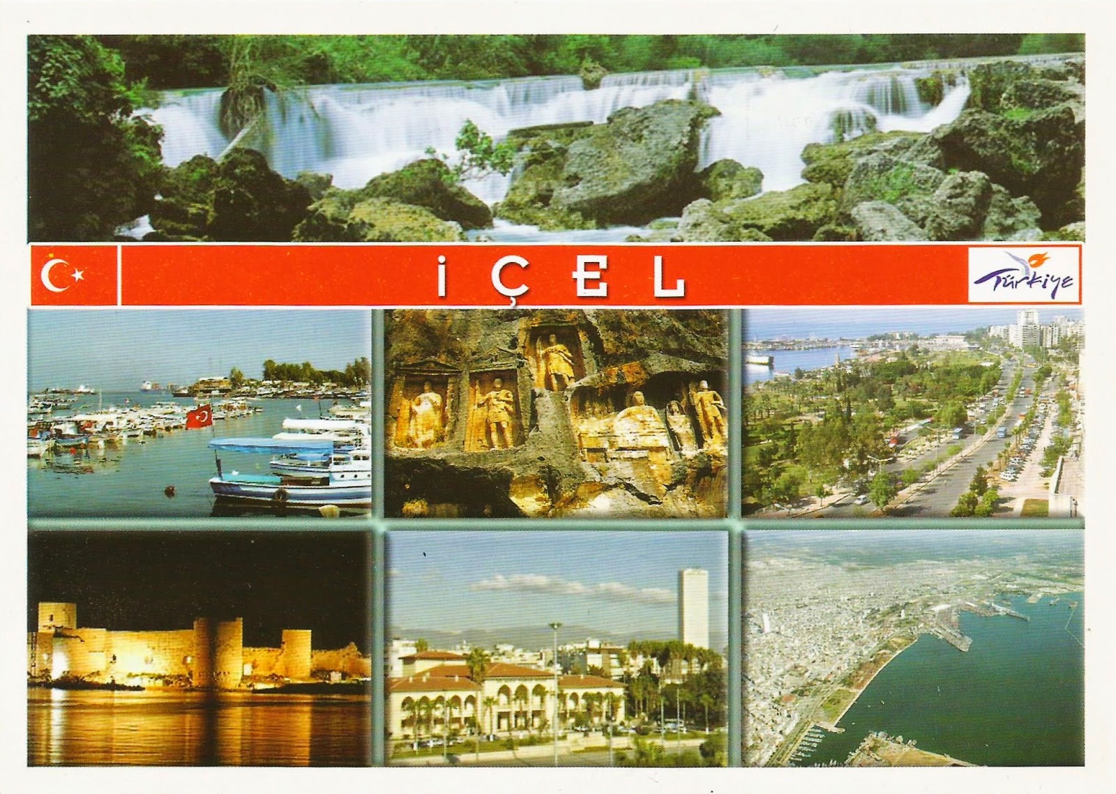
Ancient City of Korykos, Turkey (Unesco Tentative)

 
The ancient city of Korykos extends east-west alongside the highway at a distance of 65 km from Mersin and 25 km from Silifke. It sits on the slopes of the mountain where it reaches the coast. As the mountain approaches the sea, two small bays are formed. The city lies alongside northeast and southwest axis reaching Elaiussa-Sebaste at the east and Hell-Heaven Caves at the west. It is surrounded by a natural harbor, where it has been always settled around in all periods. Remains of the ancient city are spread through 113.4 ha area reaching to the northeast of modern Kızkalesi settlement and including the fullest extent of the Necropolis valley at the west and lying 2 km alongside the coast to the east.
 
Kızkalesi (Bottom Left)
 

Studenica Monastery, Serbia (UNESCO)

 
The Studenica Monastery was established in the late 12th century by Stevan Nemanja, founder of the medieval Serb state, shortly after his abdication. It is the largest and richest of Serbia’s Orthodox monasteries. Its two principal monuments, the Church of the Virgin and the Church of the King, both built of white marble, enshrine priceless collections of 13th- and 14th-century Byzantine painting.
 
 
Sender: Renato, Sent on: 8 May, 2014, Received on: 14 Mar, 2014, Travel time: 6 days
Sent from Belgrade

Curonian Spit, Russia (UNESCO)

 
Human habitation of this elongated sand dune peninsula, 98 km long and 0.4-4 km wide, dates back to prehistoric times. Throughout this period it has been threatened by the natural forces of wind and waves. Its survival to the present day has been made possible only as a result of ceaseless human efforts to combat the erosion of the Spit, dramatically illustrated by continuing stabilisation and reforestation projects.
 
 
Sender: Hiyori, Sent on: 4 May, 2014, Received on: 14 Mar, 2014, Travel time: 10 days